
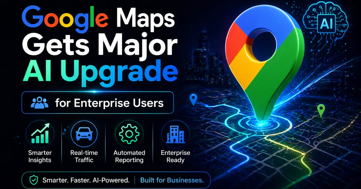
Google has unveiled a suite of generative AI features for its mapping and geospatial platforms, targeting enterprise users who need advanced visualization and data analytics capabilities. The new tools, announced at Cloud Next in Las Vegas, add AI-powered scene generation, satellite imagery analysis, and pre-trained geospatial models to Google Maps and Google Earth.
Generate Scenes Inside Street View
The headline feature is Maps Imagery Grounding, which allows enterprise users to create realistic scenes inside Google Street View using generative AI. Users type a prompt into the Gemini Enterprise Agent Platform, and the system generates a visualization of how a project might look whether that is a movie set, a planned construction site, or an urban development proposal.
The scenes appear directly within Street View, giving users a contextual, location-accurate preview of their project. Google says the feature can also animate scenes using Veo, its video generation tool, enabling users to storyboard creative or architectural visions with accurate, location-based imagery in seconds.
For industries like film production, urban planning, real estate development, and construction, this could significantly reduce the time and cost required to create visual previews of planned projects.
Satellite Imagery Analysis in Minutes
Google is also expanding AI capabilities within Google Earth. A new feature called Aerial and Satellite Insights lets users analyze imagery stored in Google Cloud's BigQuery data warehouse. The company claims the tool compresses what previously took weeks of manual analysis into just minutes.
The feature is designed for enterprise users who need to extract structured data from satellite and aerial imagery identifying patterns in land use, tracking infrastructure changes, monitoring environmental conditions, or assessing disaster damage at scale.
Pre-Trained Earth AI Models
Finally, Google is launching two new Earth AI Imagery models pre-trained AI systems designed to identify specific objects in geospatial imagery, including bridges, roads, and power lines. Previously, companies had to build and train their own AI models from scratch for this kind of analysis, a process that could take months.
Google's pre-trained models eliminate that barrier, allowing businesses to deploy geospatial AI analysis without the time, cost, or expertise required to build custom systems. For infrastructure companies, utilities, and government agencies that manage large physical networks, this could be a meaningful productivity gain.
Part of a Broader Enterprise Push
The announcements build on Google's growing push into enterprise AI services. The company's Earth AI platform is already being used by partners including Airbus for environmental monitoring and Boston Children's Hospital for public health applications. Adding generative AI to Maps and Earth extends Google's enterprise footprint into industries that have traditionally been underserved by AI tools.
The timing is also notable. Google has been rapidly expanding its Gemini AI capabilities across its product suite from Chrome browsing to personal intelligence to search. Adding geospatial AI to that portfolio positions Google as a full-stack AI platform provider, covering everything from consumer search to satellite-scale enterprise analytics.
Why Geospatial AI Matters
Geospatial data is one of the largest and most complex categories of information in the world. Satellite imagery alone generates petabytes of new data every day, and most of it goes unanalyzed because the tools to process it at scale have been too expensive and too specialized for most organizations.
Google's new features aim to democratize access to that analysis making it possible for a data analyst or urban planner to extract insights from satellite imagery without needing a machine learning team. If the tools deliver on their promise, they could open up entirely new use cases for geospatial intelligence across industries that have never had access to this kind of capability before.
The AI race is no longer just about chatbots and coding tools. It is expanding into the physical world and Google Maps just became one of the most interesting battlegrounds.